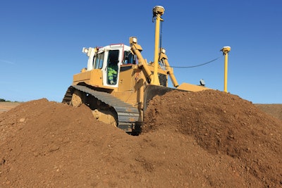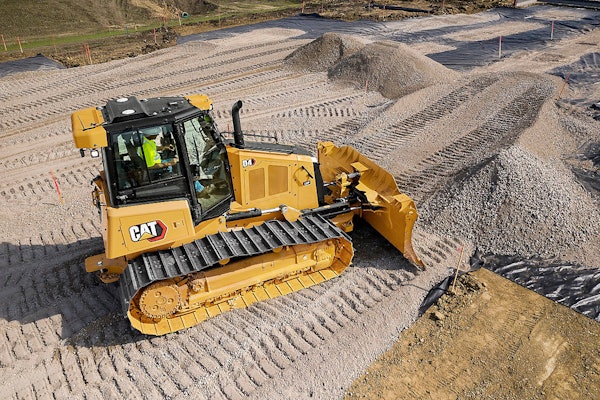
The GPS you get in your car is accurate down to about 10 meters. How then can you get a dozer, excavator, rover or survey instrument to record GPS points down to within a few centimeters?
The secret is in the base station for the site. This is set up on a surveyed and known spot on the site, and when it receives the 10-meter signals everybody else gets, it compares that signal with what it knows is its highly accurate surveyed position and sends out a corrected signal to all the machines and rovers on the site.
Receivers on the machines pick up that adjusted signal and compare it to a digital map of the site that is preloaded into the machine’s computer. When the corrected signal and the position of the machine’s bucket or blade agree, you’re on target, and that typically turns the image of the area on the monitor green. High or low spots are shown in red or another contrasting color.
In the “indicate” mode, you see the GPS-determined position of the machine on the screen but manipulate the controls yourself. In the “fully automatic” mode, the differences between the machine position and the digital plans will send a signal to the hydraulics to raise or lower the blade accordingly, so the operator doesn’t have to raise or lower the blade manually.
Download the entire “How to Do Everything Better Guide” PDF
More Machine Operation tips from “How to Do Everything Better”


