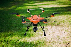
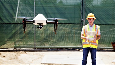
 The Skycatch Explore1, a custom drone built for Komatsu, is at the center of the company’s new EverydayDrone surveying service in Japan.
Though the Japanese company is best known as a heavy construction and mining equipment manufacturer, Komatsu is quickly becoming a formidable services company in its home country.
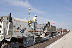
In 2015, Komatsu launched Smart Construction, a drone-assisted, automated equipment service intended to alleviate the burden of the country’s severe shortage of skilled workers. Smart Construction combines Komatsu’s intelligent Machine Control (iMC) technology with jobsite surveys provided by drones and 3D laser scanners with the goal of completely automating pre-foundation work. Since then, the service has grown quickly and has been used on more than 5,500 Japanese jobsites. The service added 1,500 jobsites in the last seven months alone.
Now, according to the company’s first quarter earnings report, Komatsu has launched a new service for those Japanese customers who are only interested in the drone-assisted surveying capabilities of Smart Construction.
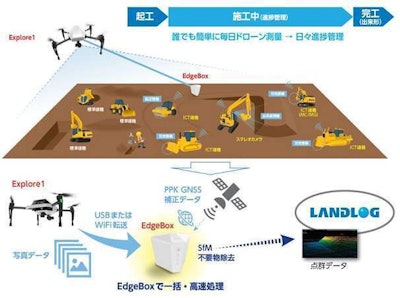 A Komatsu illustration of how its EverydayDrone service provides highly precise drone site surveys in tandem with the powerful Edge1 base station.
Dubbed EverydayDrone, the service uses Skycatch Explore1 drones to generate 3D site survey data that at one time took survey crews a whole day to compile, in about 30 minutes, Komatsu says.
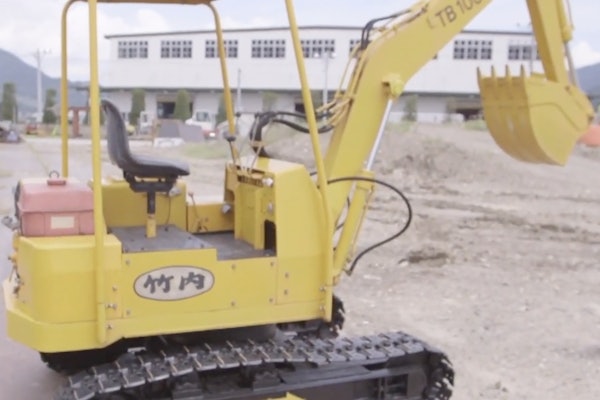
Though Komatsu does offer a Smart Construction service in the U.S., that program is a completely different animal here in the states. While the Japanese version of Smart Construction is performing site prep with fully automated machines and drones, the service offered to U.S. contractors is basically a comprehensive training and support program for the company’s iMC equipment lineup. (Think of it like AppleCare for your excavator.) It remains unclear if Komatsu has plans to bring Smart Construction or the EverydayDrone surveying service to the states.
According to a Japanese announcement for EverydayDrone, the service launched (no pun intended) in May. As we learned back in April, the drones are built by Chinese drone maker DJI and are based on that company’s Matrice 100 enterprise platform. However, the technology doing much of the heavy lifting in piloting and ensuring precise surveying measurements is the work of Skycatch, a drone data company.
 Edge1 RTK base station
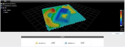
Komatsu says the drones survey sites by capturing photographic data in flight before landing and transferring that data to an Edge1 RTK base station. The Edge1 is a “powerful ruggedized computer” that processes the images captured by the drones into precise 3D models. Here’s an example of 3D survey data generated by the Edge1 base station using Explore1 images.

With how the Explore1 drone and Edge1 base station work together, you don’t need to setup Ground Control Points in order for the drone to find its way around the survey area. The other advantage of these Edge base stations is that they apparently don’t depend on a wireless internet connection and can perform their task in any location.
Though EverdayDrone is a separate service from Smart Construction, Komatsu says the drone surveying service does integrate with it, allowing customers to perform weekly—or even daily (as the name of the service suggests)—site surveys and compare new data to old data to monitor project progress. Here’s an example of a soil volume model produced by Smart Construction.
