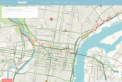
Waze and the U.S. Department of Transportation have joined forces to help reduce highway fatalities.
The agency and traffic app have embarked on a pilot project to integrate traffic crash data with Waze’s data on traffic hazards and conditions.
“This initiative will examine the feasibility of using this new crowd-sourcing application to provide a reliable, timely indicator of reportable traffic crashes and estimate crash risk based on Waze-reported hazards,” USDOT said in a news release.
USDOT is also working on a second pilot program to use data analysis to improve transportation safety.
“The project will integrate established data on known crashes and highway design with anonymous data from GPS-enabled devices that provides prevailing speeds at 5-minute intervals across the entire National Highway System,” the agency says. The data will be used to determine how speed and road characteristics influence the likelihood of crashes and the role of speed in rural wrecks.
“Together, these pilot projects represent a new approach to data analysis that will seek to augment traditional data sources with new data that can be collected and analyzed much more quickly,” USDOT says. “This approach will create new multi-dimensional models of the transportation system.”


