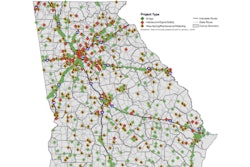
The Indiana Department of Transportation (INDOT) has launched an online interactive map that tracks road and bridge projects across the state, with more than 1,700 active projects visible.
INDOT calls the program its interactive investment map and will show trail projects in addition to roads and bridges. The site, which will cover all INDOT, city, town and county projects, is available here.
The page offers a state map marked with its 92 counties. Clicking on each county brings up a scrollable list of active projects listed in a rolling 18-month window. Details listed per project include route, contractor bid open date, cost, type of work and links to Google Maps to show specific areas of construction.
“This online, interactive investment map gives Hoosiers an opportunity to follow INDOT’s continuous work on roads and bridges throughout Indiana,” says Governor Mike Pence.
“Over the next 5 years, my administration proposes to invest an estimated $4.6 billion on projects aimed at modernizing our transportation network for the future, and I am thrilled that Hoosiers can follow along as we move forward. I encourage all Hoosiers to follow INDOT’s progress through the investment map as we preserve and enhance Indiana’s reputation as the Crossroads of America.”


