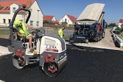
Machine data is more useful when it can be pulled together for analysis and viewed across a mixed-fleet worksite, and that’s the thinking behind Topcon’s new MC-Max platform.
Designed to adapt to contractors’ machine control and data integration needs as their fleets and workflows expand, the new Topcon MC-Max increases processing power, speed, accuracy, reliability in GPS/GNSS guided earthmoving and sitework, says the company.
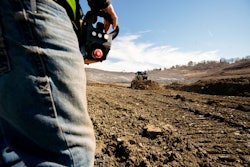
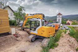
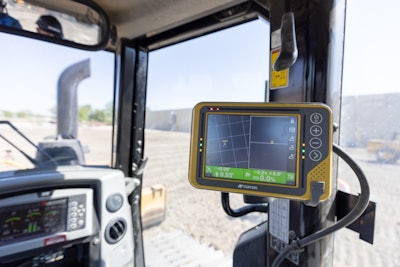
Backed by Sitelink3D, MC-Max can be installed on a full range of dozers and excavators. The MC-Max is based on Topcon’s MC-X platform and offers flexible mounting solutions, as well as optional automatic blade and bucket control. The system also provides a full range of positioning technologies from slope control to laser, multi-constellation GNSS*, robotic total station and Millimeter GPS systems. With it, you get a live view of machine positions, activities and onsite progress. MC-Max is also compatible with a wide range of jobsite communication systems.
“With MC-Max, we’ve created a solution that is flexible and can continue to grow as a contractor’s needs and capabilities expand,” says Jamie Williamson, executive vice president, Topcon Positioning Group. “This new solution provides improved scalability and precision in the field and offers business owners real-time data integration, connectivity and resource management capabilities across their entire workflow.”
Topcon positions the MC-X Platform as an easy-to-use and affordable machine control solution. The platform provides seamless data with mixed fleets by interacting with multiple versions of 3D-MC. Sitelink3D is the company’s real-time, cloud-based data management system.
*Multi-constellation GNSS systems are machine control platforms that receive positioning signals from multiple satellites in orbit around the earth. The more satellites a system can “see” the better the data and the less likely a system will lose the satellite connection.