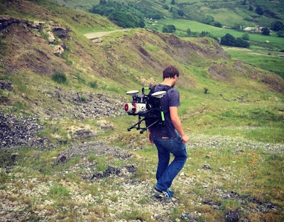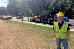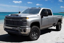
Unlike most other mapping systems, Robin can capture date from paths, forest trails and coastlines that are only accessible on foot.
Included in the system is a 12-megapixel camera for driving applications and an 18-megapixel camera for walking and flying. Two GNSS antennas pull in GPS satellite positioning data while a GIS-grade inertial measurement unit (IMU) orients the system to the site. The survey-grade system offers vertical accuracy as fine as 1 to 2 centimeters.
The laser scanner has a maximum range of up to 920 meters with a relative accuracy of 5 millimeters. Two additional options are available: A Robin-Wings long range laser scanner optimized for airborne operations, can scan up to 1,350 meters with 10 millimeter accuracy while the Robin-Precision setup can reach out to 350 meters with 3 millimeter accuracy.
The walk/drive unit weighs 22 pounds, the flying unit weights 13.2 pounds.


