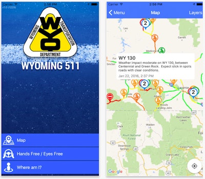
The latter feature is dubbed the “Where Am I?” function. It uses GPS to find a users’ location by route and mile marker in addition to latitude and longitude coordinates, with accuracy down to one-tenth of a mile, WYDOT says.
The app includes a map used for trip planning, with users being able to choose between road conditions and highway cameras.
The road condition view includes a color-coded system indicating pavement condition and traffic hazards. The camera view is from WYDOT’s statewide network of web cameras.
To help minimize distraction to a motorist, the app can speak incidents and road condition reports, with the motorist hearing road condition details for their current route and traffic incidents within a radius set by the user.
The free app is available on both the Apple App Store and the Google Play Store.


